by James Hufnagel
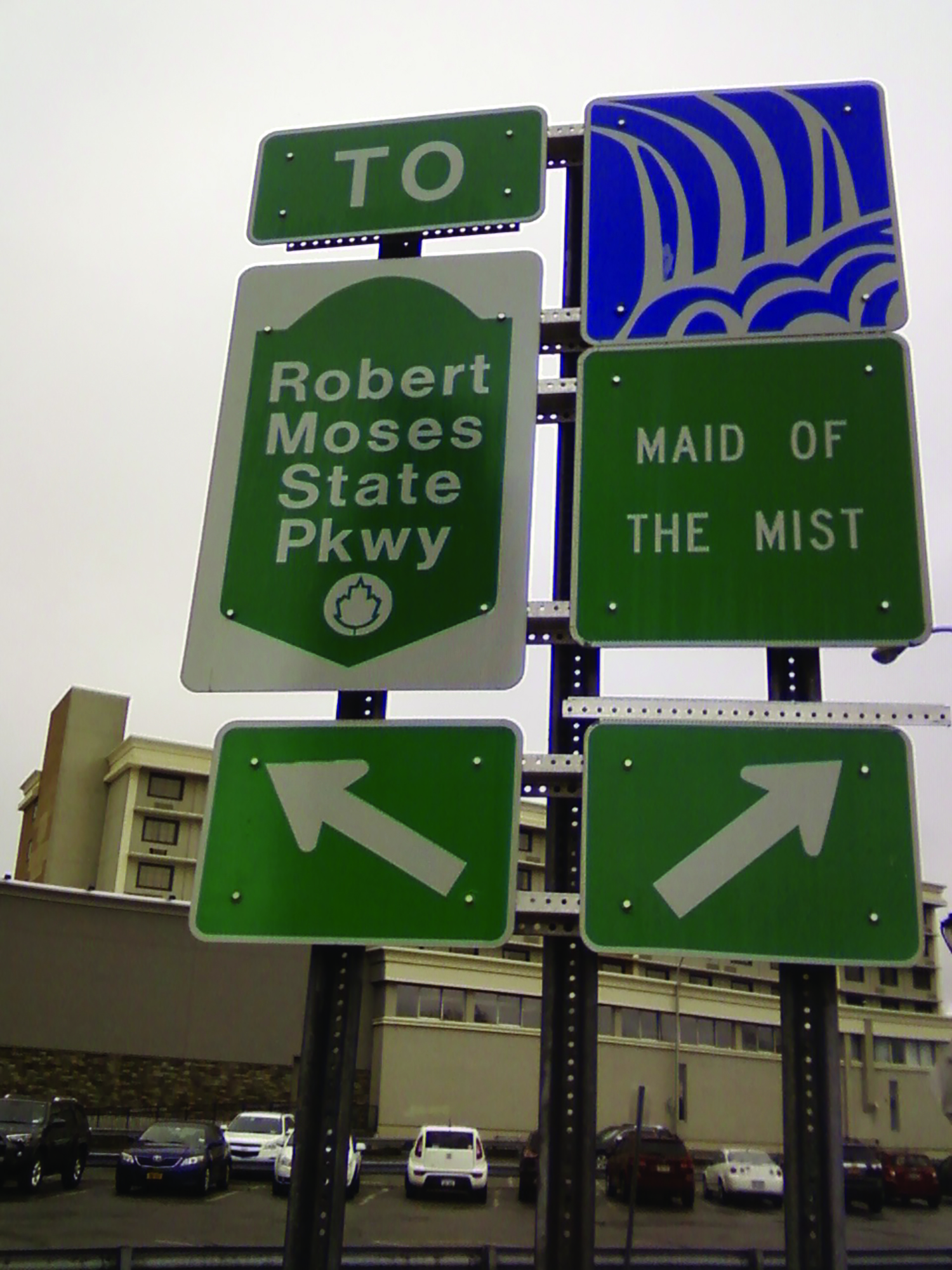
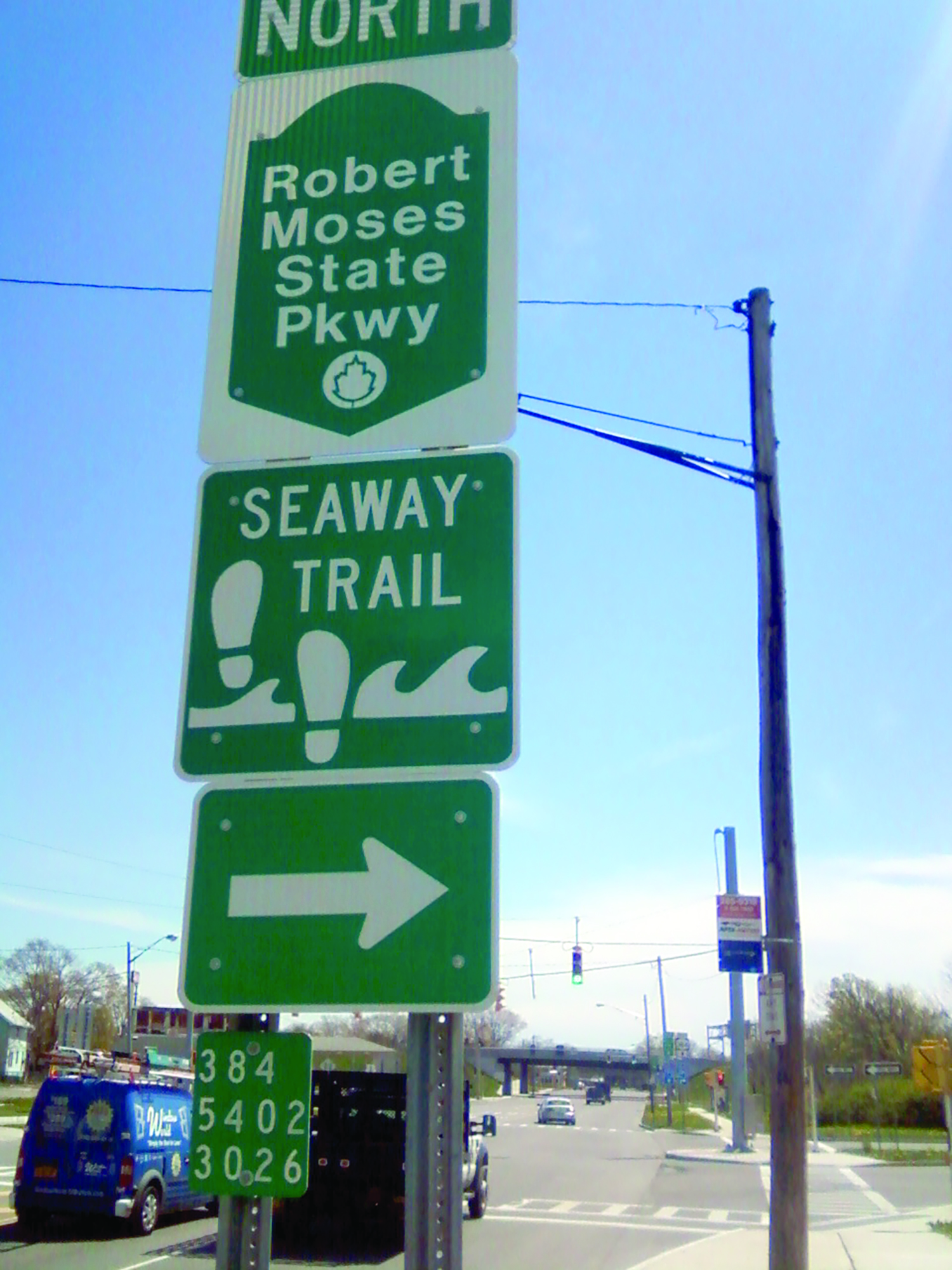
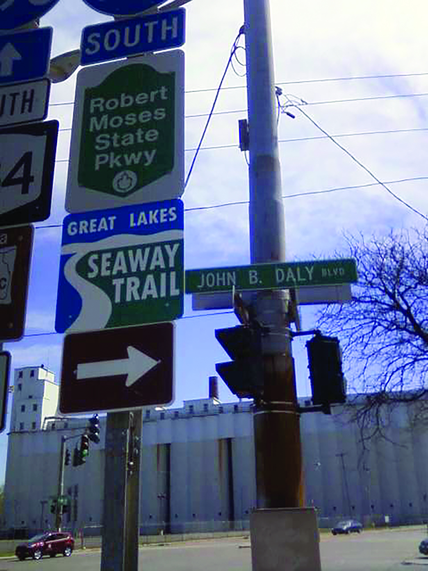
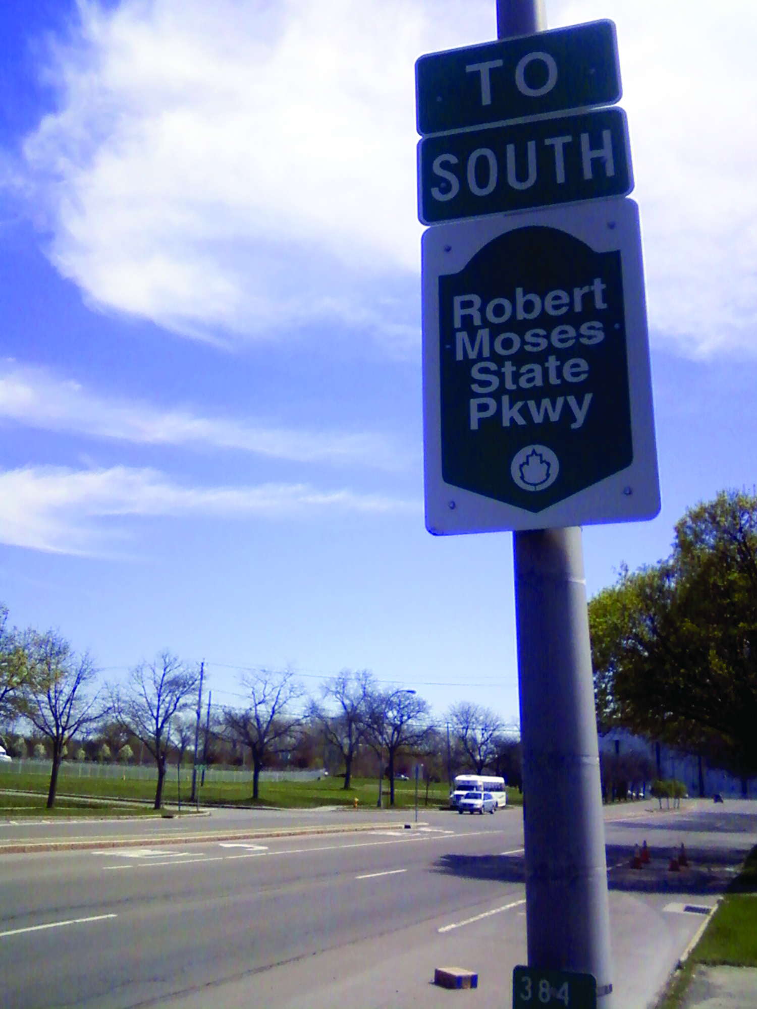
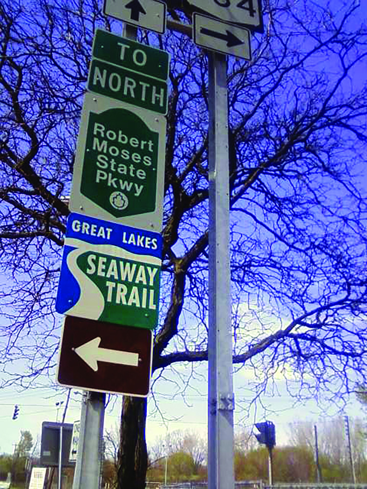
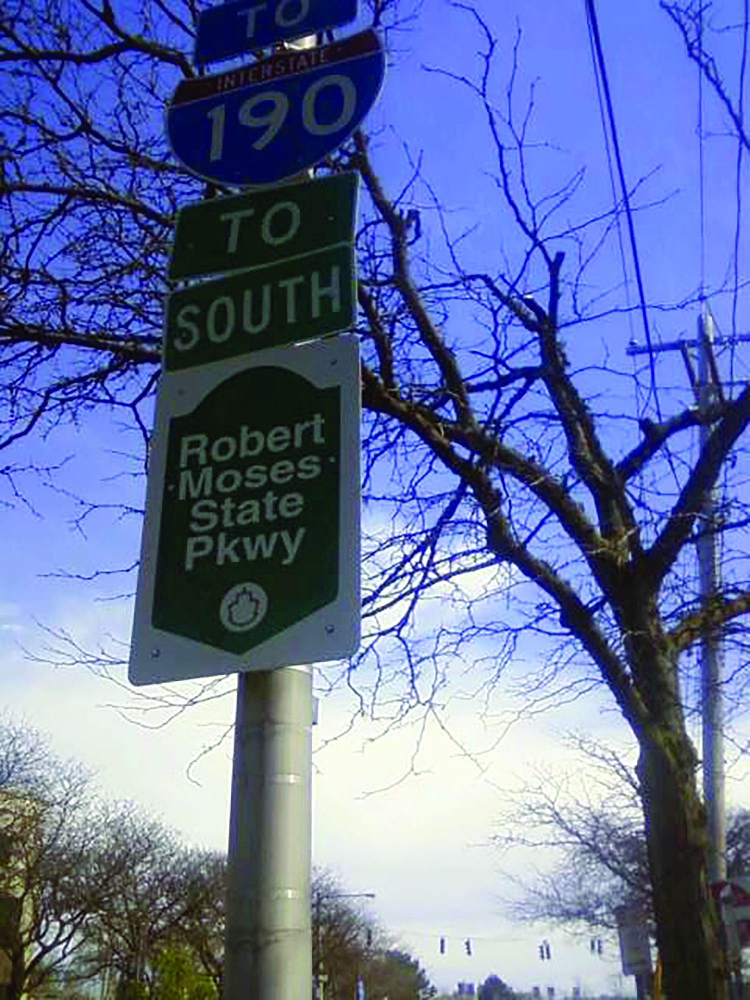
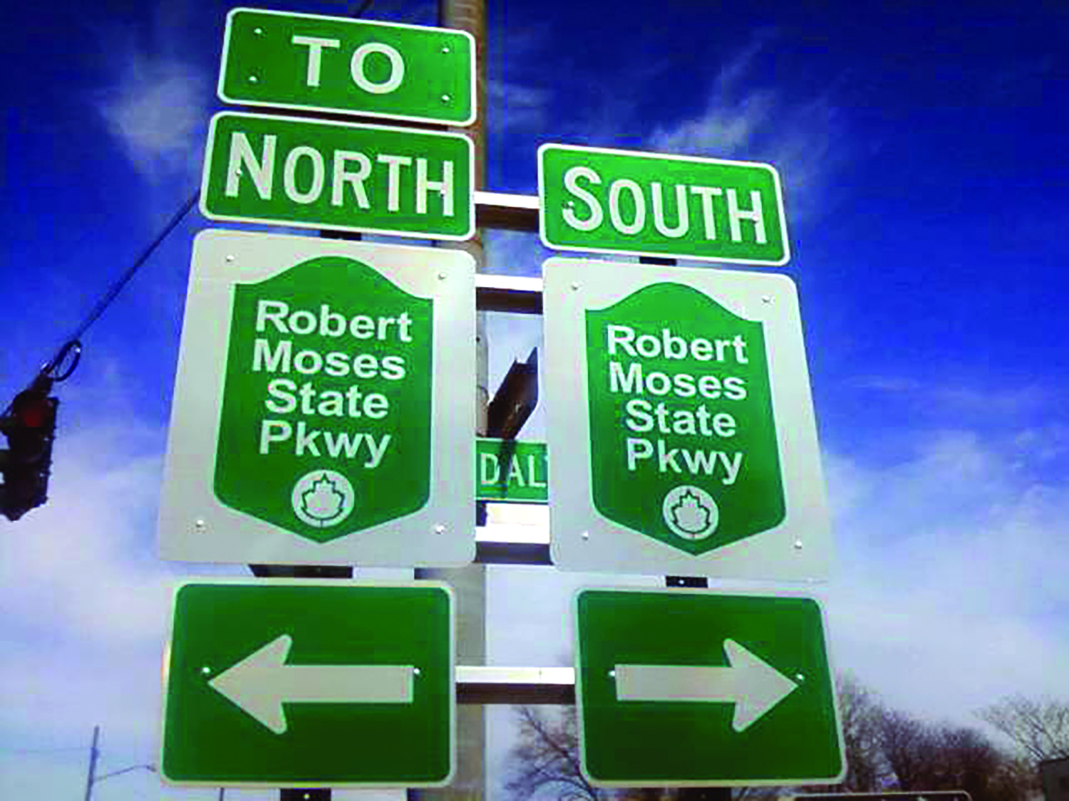
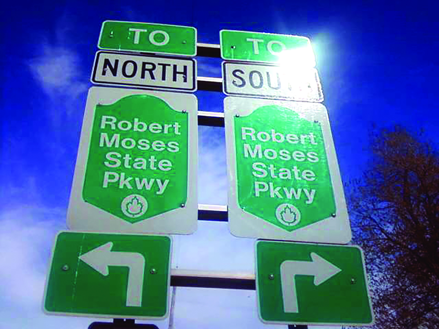
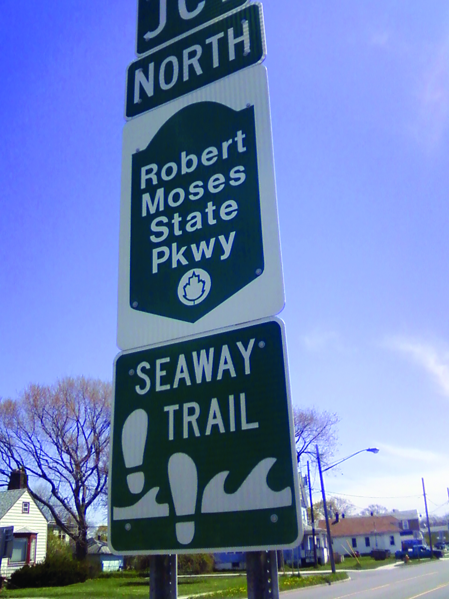
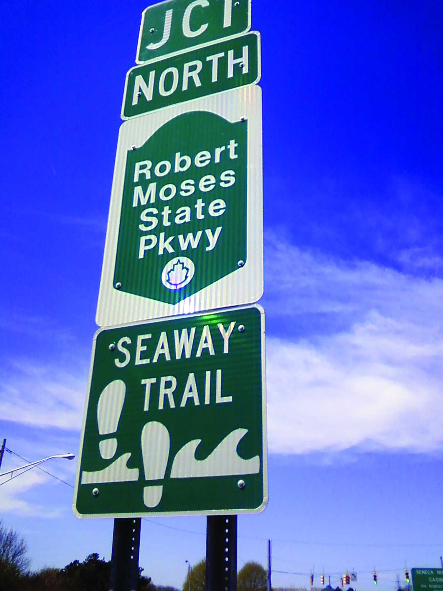
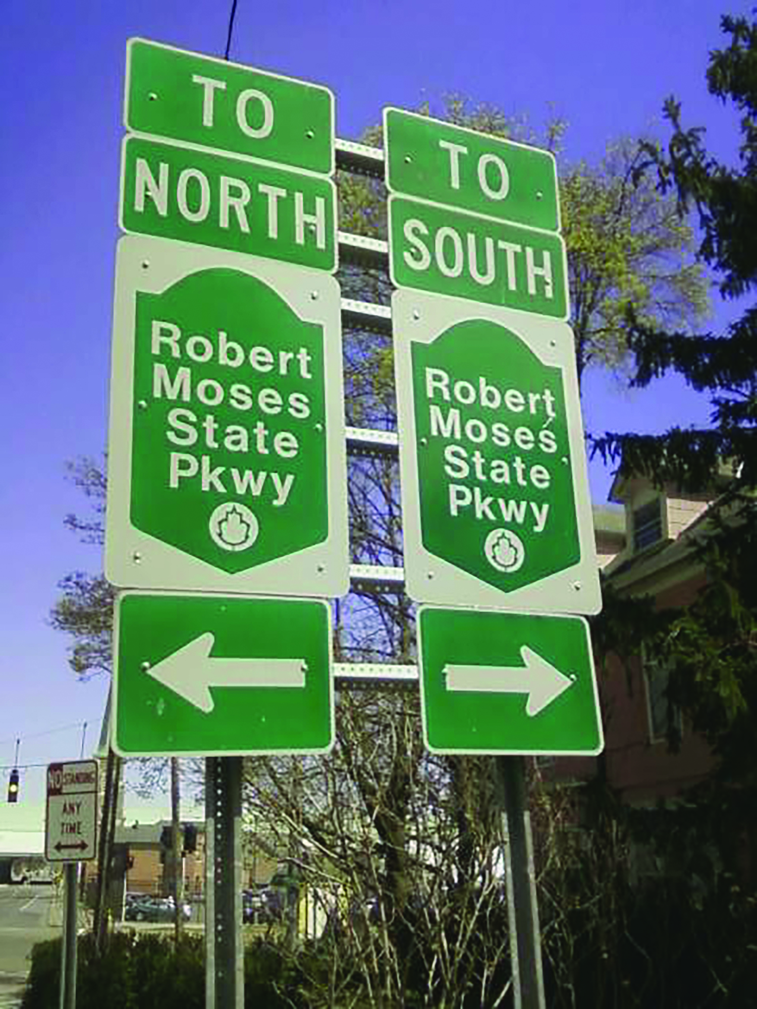
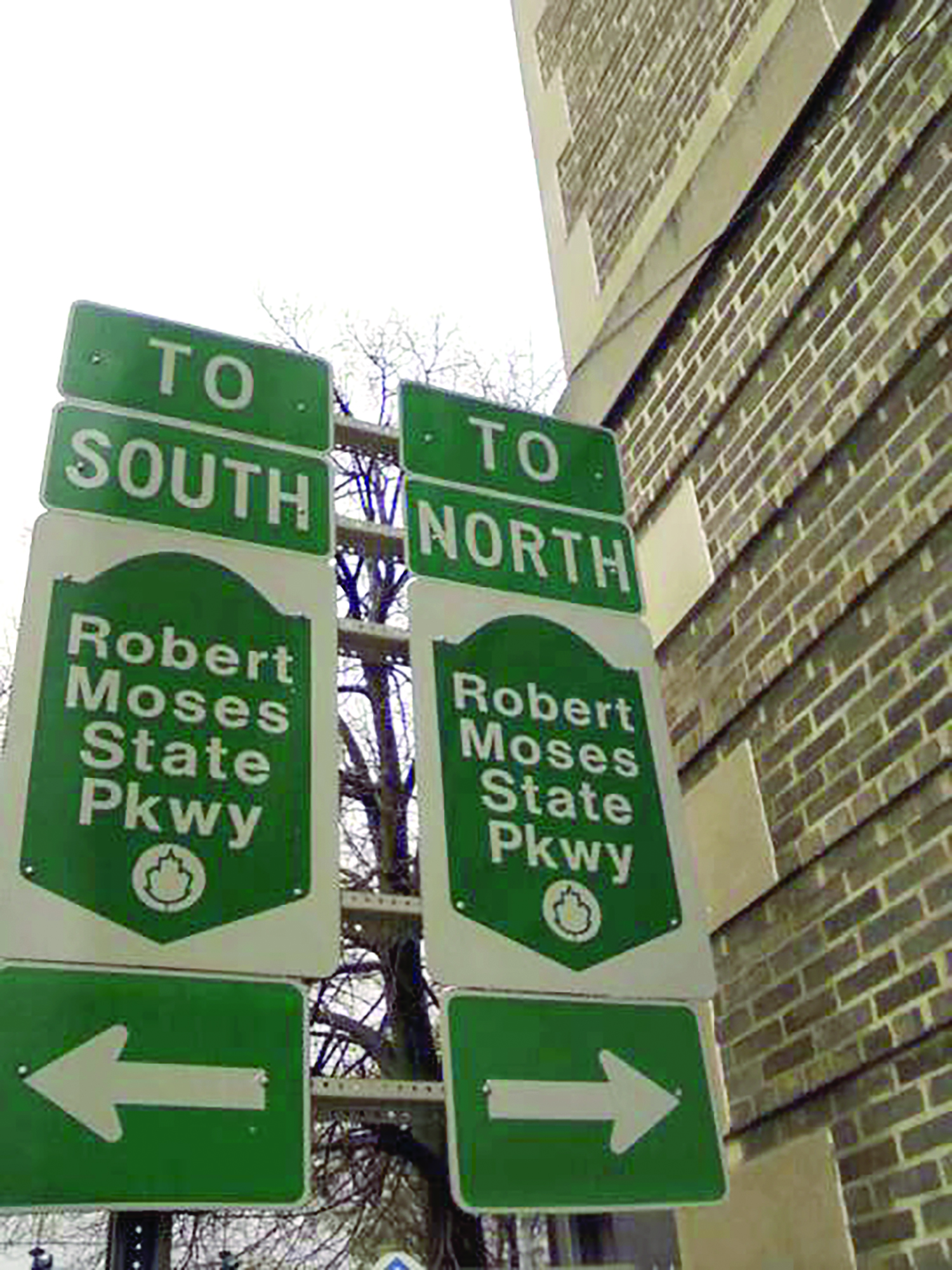
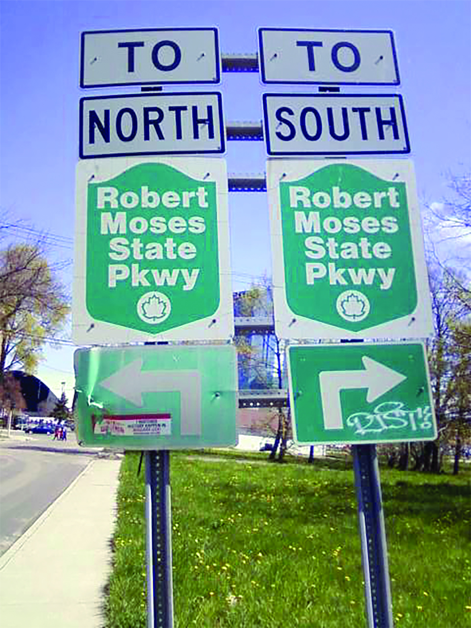
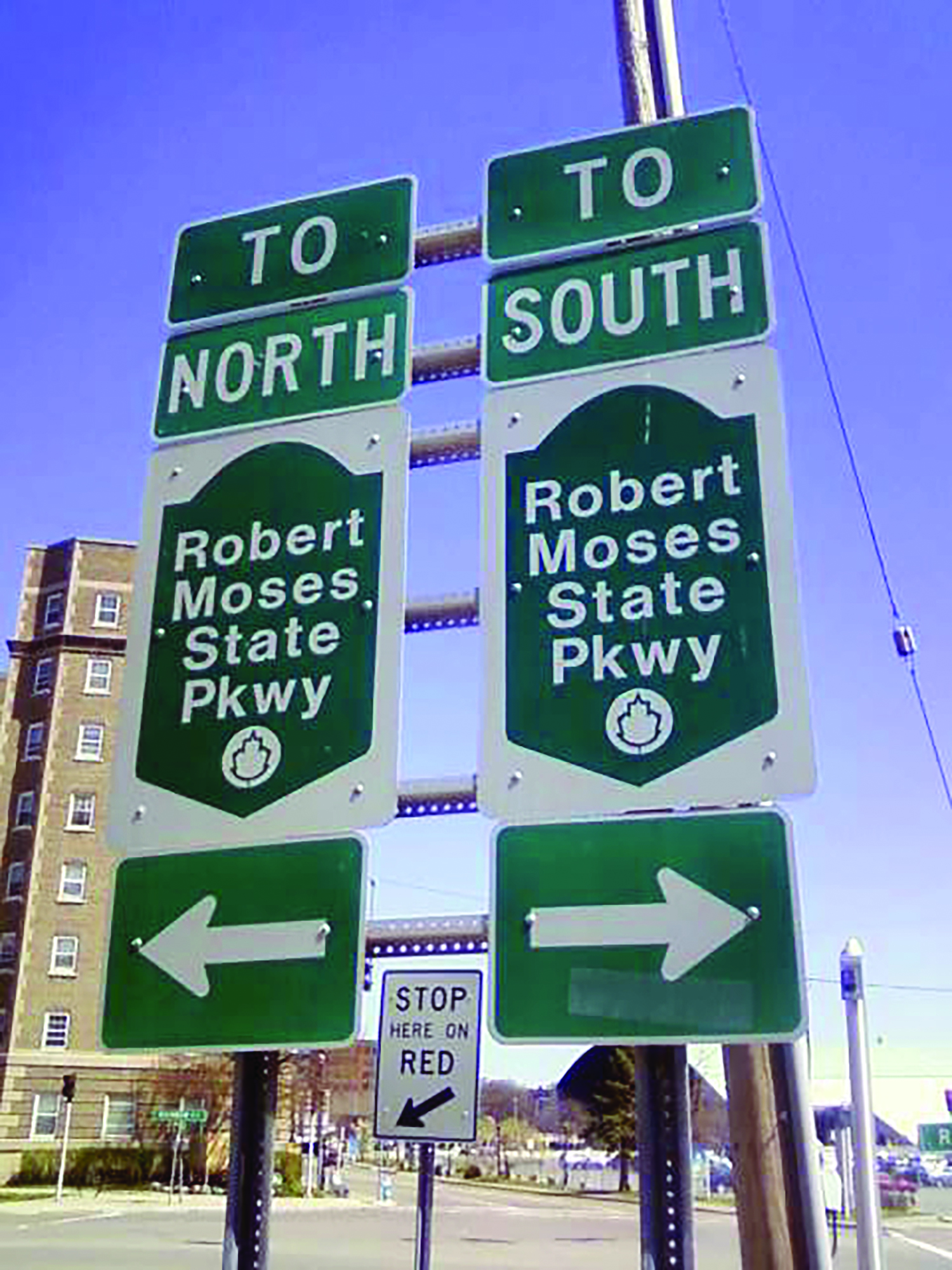
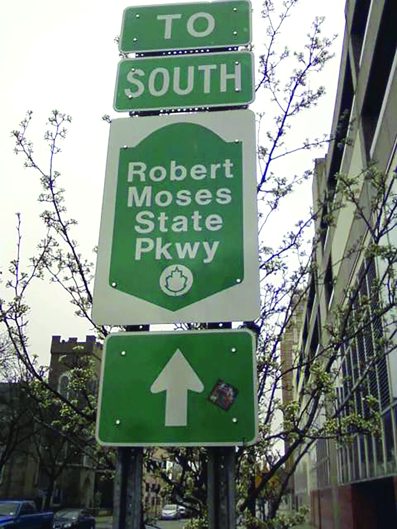
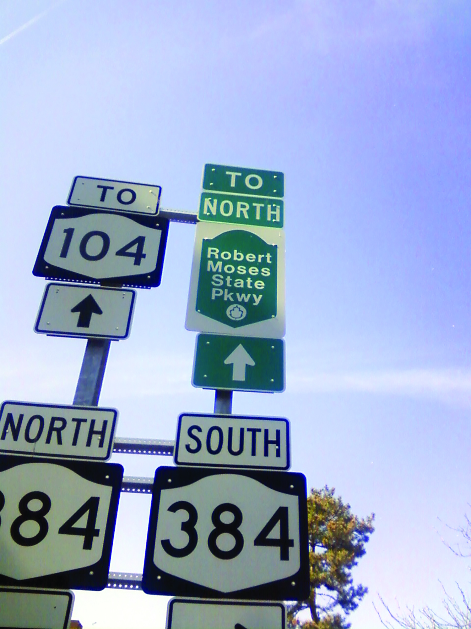
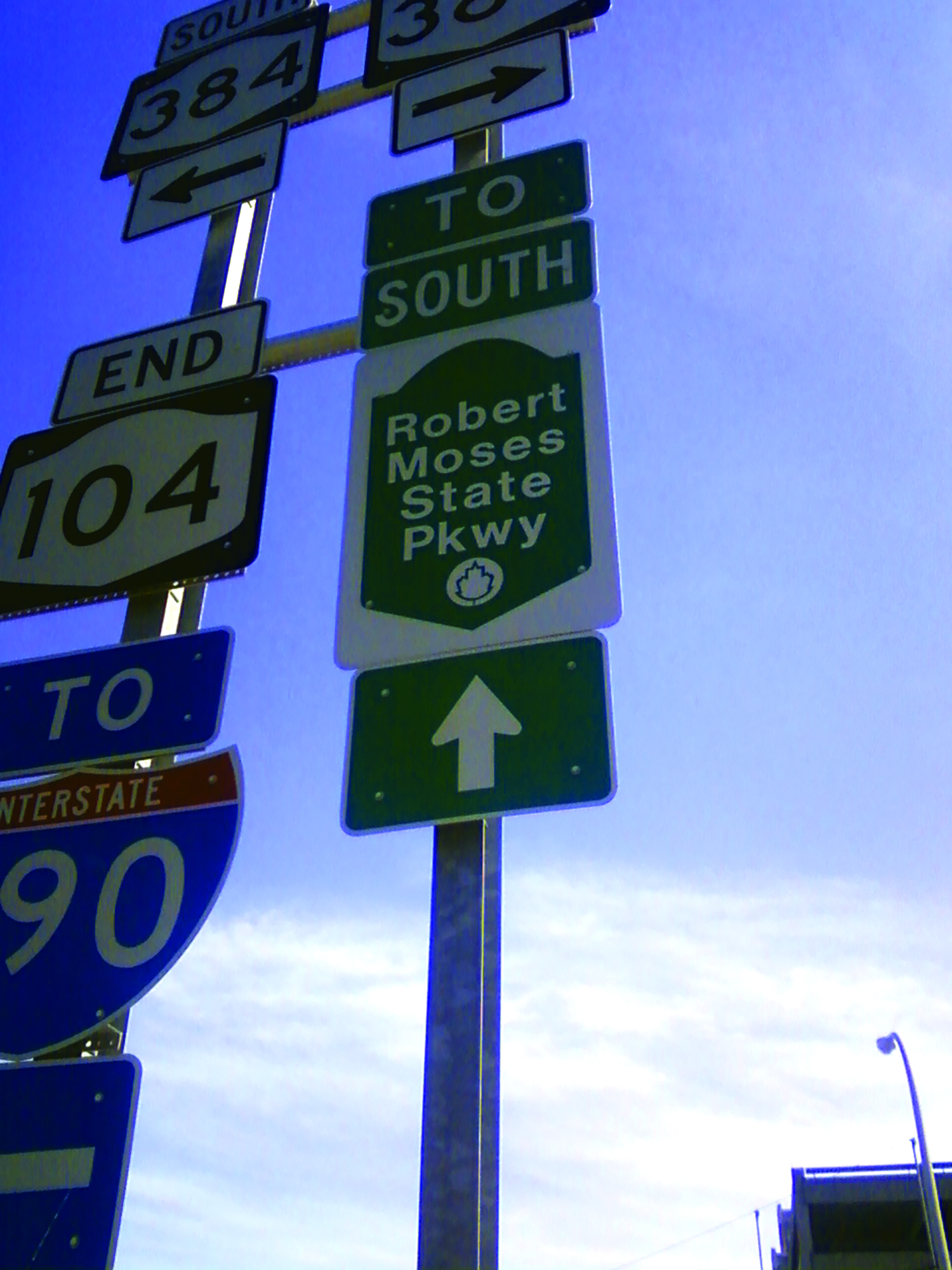
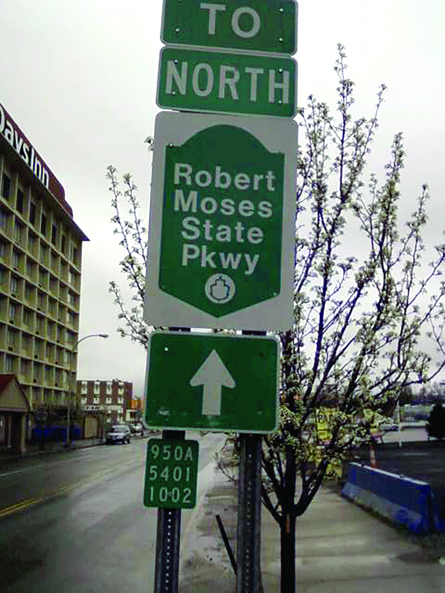
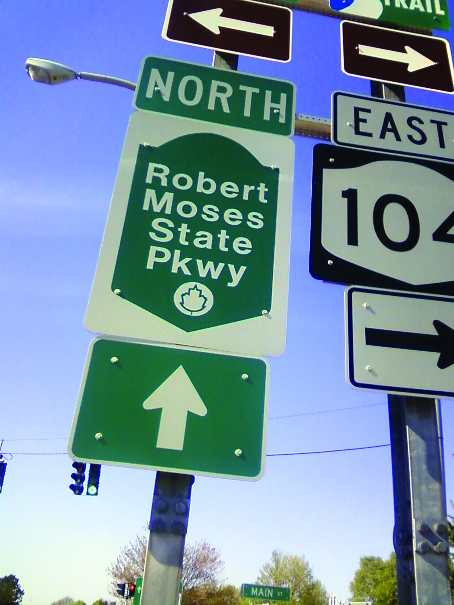
If the politicians are so determined to “remove” the Robert Moses Parkway, at a total cost of over $60 million, why is there state Dept. of Transportation signage all over downtown Niagara Falls directing motorists to it, in effect urging people to traverse the city as if it’s some kind of outback that needs to be exited as quickly as possible?
Built in the early 1960’s, the Moses Parkway was intended to serve as a traffic artery west from the Grand Island Bridge, skirting the city to Lewiston, northern Niagara County and points east like Rochester, and in the other direction, a freeway for New York City drivers to access Buffalo, Cleveland and the Midwest. That’s how “master builder” Robert Moses, in a characteristic fit of megalomaniacal grandiosity, envisioned it. Of course, that’s not how it turned out.
Two decades later, around the mid-1980’s, an entire section of the parkway slicing through Niagara Falls State Park, bisecting the Olmsted-designed nature preserve, was shut down and partially removed. Another fifteen years passed before, pursuant to implementation of the Parkway removal “pilot project”, two of four north section lanes along the Niagara Gorge were closed to vehicular traffic and the speed limit lowered. It’s been a lurching, piecemeal and agonizingly slow process attempting to repair some of the enormous damage Robert Moses inflicted on the city of Niagara Falls.
Today, the Robert Moses Parkway is redundant (running parallel to the 190, Lewiston Road and Buffalo Avenue), obtrusive (blocking the city off from its waterfront), and expensive (after more than five decades, needing extensive maintenance). It’s a white elephant that lowers property values, degrades the environment, negatively impacts quality of life and diverts traffic from the downtown Niagara Falls business district.
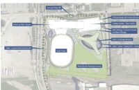
The parkway has survived well into the 21st century, and over two decades of public demands to remove it, because it serves two purposes: the south section provides a driveway directly to the parking lots of the Niagara Falls State Park, which generate millions in revenue for Albany every year, while the north section acts as a shortcut for the affluent northern suburb of Lewiston, reducing the commute time into the city by a minute or two. As state DOT studies show, approximately 9 of 10 vehicles presently use alternative routes, not the parkway, to make the trip to the Falls and Buffalo, so its functionality as a transportation link is practically nil except for the enrichment of Albany and the narrow self-interest of a handful of Lewiston commuters.
Since Niagara Falls residents know where the north and south parkways are located, and how to get to them, it stands to reason that the numerous signs extant in downtown Niagara Falls, facilitating quick egress on the state’s parkway, are for the benefit of tourists who accidentally wander into the city after having spent all their vacation money parking, sightseeing, purchasing gifts and souvenirs, riding Maid of the Mist and eating at one of several Delaware North fast food outlets in the state-owned and operated Niagara Falls State Park.
Moses Parkway removal has perennially been on the to-do list of Mayor Paul Dyster’s top campaign promises. In fact, despite receiving BA and Master’s degrees in political science as a young man, he’s claimed repeatedly over the years that it’s one of the main reasons he got into politics. Failure to execute on parkway removal is substantially why a majority voted against him last November.
To answer the question at the top, the signage persists because the Robert Moses Parkway isn’t going anywhere. The south section between the Grand Island bridge and the Niagara Falls State Park was recently upgraded. Sold to the public as “removal”, a short segment of the waterfront-hugging highway was reduced to two lanes with a lowered speed limit as it approaches, then bypasses, downtown Niagara Falls on its way to the state park.
Likewise with the north section. A small, insignificant length of parkway up to Whirlpool State Park is slated for removal two years from now, in the spring of 2018, to be replaced by a renovated Whirlpool Drive, which runs alongside. The greater portion of the north Moses Parkway will be left intact, or more likely, significantly improved to mollify disgruntled Lewiston commuters, who must be catered to. Even though it won’t impact their drive at all, any encroachment on their precious parkway will prove disconcerting to the entitled few.